
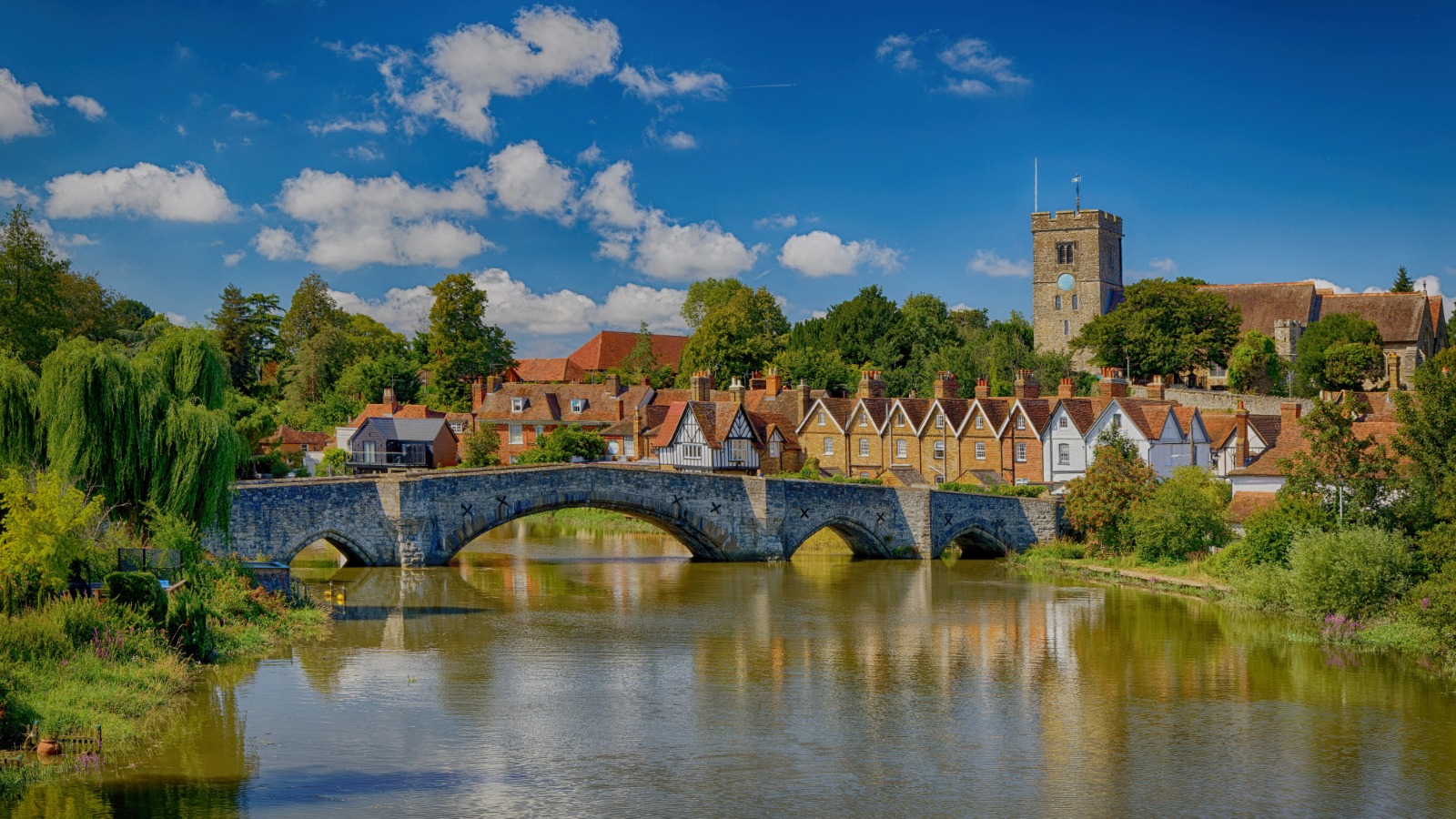
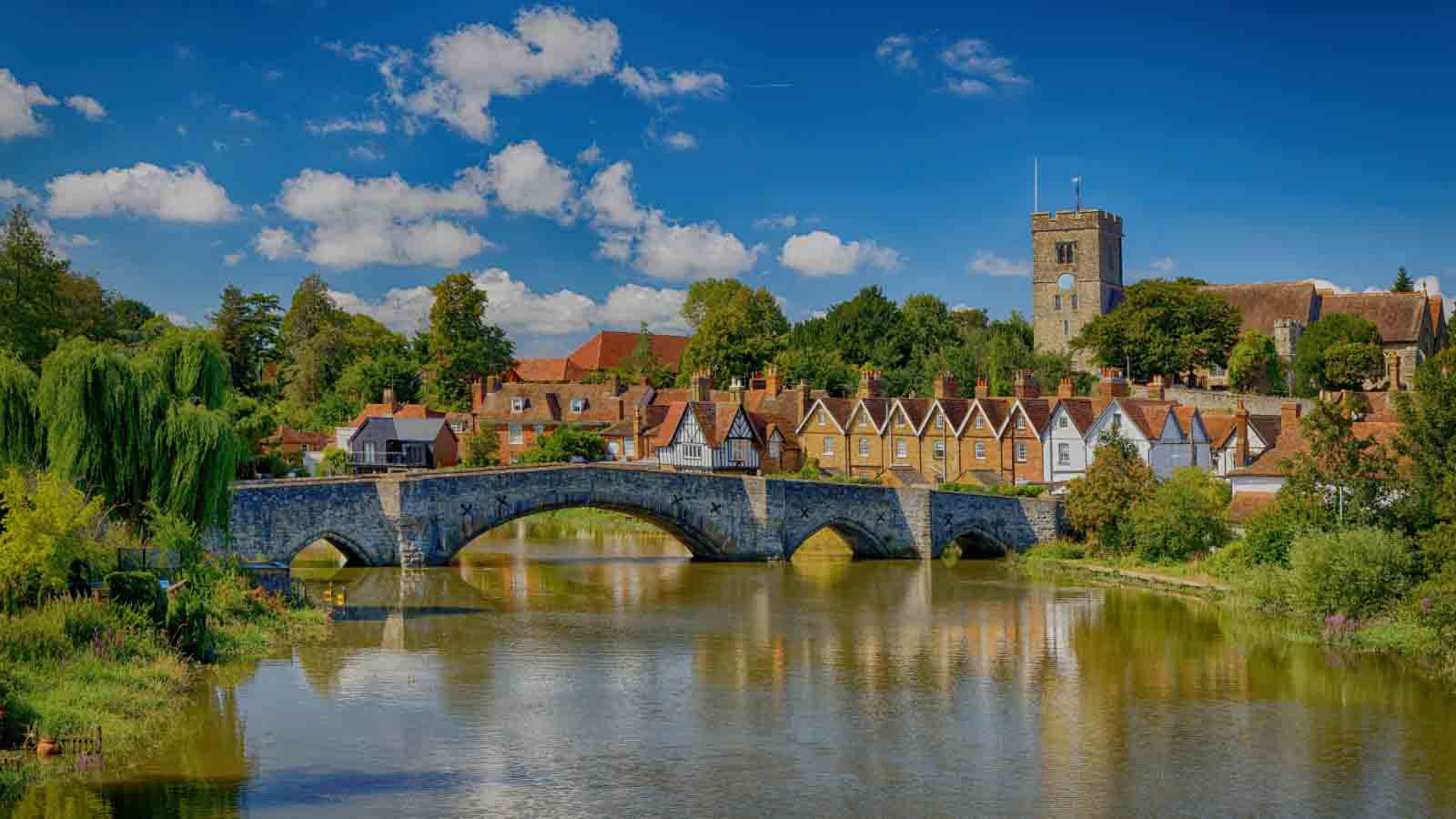
Flowing through the heart of Kent, the River Medway has shaped towns, transport, trade, industry and landscapes for centuries. From the countryside around Tonbridge and the upper Medway Valley to Maidstone, Rochester, Chatham and the tidal reaches beyond, the river tells an extraordinary story of medieval crossings, commercial navigation, naval power and modern recreation.
River Medway at a glance
| Feature | Key fact |
|---|---|
| Region | The Medway flows through south-east England and is particularly associated with Kent. |
| Important towns | Tonbridge, Maidstone, Rochester, Chatham and the wider Medway towns. |
| Navigation | The managed non-tidal navigation runs between Tonbridge and Allington Lock near Maidstone. |
| Tidal boundary | Below Allington Lock the Medway becomes tidal. |
| Locks | Ten locks are recorded on the navigation between Tonbridge and Allington. |
| Navigation authority | The Environment Agency manages the non-tidal River Medway navigation. |
| Historic uses | Transport of goods, agriculture, industry, navigation and naval activity. |
| Modern uses | Walking, boating, canoeing, fishing, wildlife watching and recreation. |
A river that shaped Kent
The river before the towns
Long before modern roads and railways, the River Medway influenced where people could travel, settle and trade.
River crossings were particularly important. At Tonbridge, the surrounding floodplain created a natural barrier to north-south movement, making a practical crossing point strategically valuable.
This geography helped shape the development of Tonbridge and later contributed to the importance of Tonbridge Castle.
Tonbridge and the Medway
Tonbridge grew beside one of the important crossings of the Medway. The relationship between the river, the town and the castle can still be understood by walking through the historic centre today.
The river was not simply an attractive landscape feature. For centuries it influenced commerce, communications, flooding, agriculture and the physical development of the town.
Making the Medway navigable
Early attempts were made to improve navigation on the upper river, but the most significant developments came during the seventeenth and eighteenth centuries.
Parliamentary legislation allowed works to improve the river for commercial traffic. By the eighteenth century, locks and engineered sections made it possible for cargo vessels to travel much farther upstream.
In Tonbridge, river navigation became especially important from the mid-eighteenth century. Barges could transport bulky goods more efficiently than the poor roads of the period.
The Medway Navigation Company
An Act of Parliament in 1740 established the organisation responsible for improving the upper Medway navigation. Its ambition originally extended farther upstream, although in practice commercial navigation reached Tonbridge.
Between the eighteenth and early twentieth centuries, navigation played an important role in the economy of Tonbridge and the wider Medway Valley.
Wharves, locks, warehouses and riverside industries developed around a transport system that today can be difficult to imagine when looking at the quieter recreational river.
Locks transformed the river
Making the upper Medway navigable required much more than simply clearing a channel.
Locks and weirs controlled changes in water level, allowing vessels to negotiate stretches of river that would otherwise have been difficult or impossible to navigate reliably.
The surviving navigation landscape is therefore partly natural and partly the result of centuries of human engineering.
Maidstone and the tidal Medway
At Allington Lock, near Maidstone, the character of the river changes. Above the lock is the managed non-tidal navigation; downstream the Medway becomes tidal.
This transition helped connect the agricultural and market towns of inland Kent with the larger maritime world beyond.
Rochester, Chatham and naval power
Farther downstream, the Medway became inseparable from Britain's naval history.
The river at Chatham supported royal dockyard activity from the Tudor period. Its sheltered waters and strategic location made the Medway one of the most important naval landscapes in England.
Shipbuilding, armaments, warehouses and military installations transformed the lower river and left a heritage that remains visible around Chatham and Rochester.
The railway changes everything
For generations, river barges offered an efficient method of moving heavy cargo. The arrival and expansion of the railway gradually changed that commercial advantage.
Faster rail transport reduced the importance of the upper Medway as a freight route and helped shift the river towards the recreational role familiar today.
Key dates in River Medway history
| Date | What happened |
|---|---|
| Medieval period | Medway crossings, settlements and fortified sites grow in importance along the river valley. |
| 16th century | Royal naval use of the Medway develops around Chatham during the Tudor period. |
| 1627 | Navigation initiatives help small barges reach farther upstream towards Yalding. |
| 1664 | Further legislation is introduced concerning navigation on the River Medway. |
| 1740 | A major Act establishes a company to improve navigation on the upper Medway. |
| 18th century | Locks and navigation works enable commercial traffic to develop as far as Tonbridge. |
| 19th century | Barges continue carrying goods while railways increasingly compete with river transport. |
| 1911 | New legislation reorganises management of the Upper Medway Navigation. |
| 1934 | Navigation management responsibilities pass into a new river administration structure. |
| Today | The upper river is used extensively for recreation, boating, fishing, walking and wildlife. |
Fascinating facts & curiosities
- The river helped create Tonbridge. The town developed around a strategically useful crossing of the Medway floodplain.
- The upper river is engineered as well as natural. Locks, weirs and navigation works changed how water and boats moved through the valley.
- There are ten locks between Tonbridge and Allington. They form one of the defining features of the historic navigation.
- Allington marks an important change. Below Allington Lock the Medway is tidal.
- The Medway was once a commercial highway. Barges transported goods at a time when roads could be slow and difficult.
- Chatham transformed the river into a naval landscape. Royal dockyard activity along the Medway dates back to the Tudor era.
- The modern navigation has a 5-knot speed limit. The Environment Agency manages navigation on the non-tidal river.
The River Medway we see today is the result of both natural processes and centuries of human intervention. Floodplains, channels, locks, bridges, mills, wharves and settlements all form part of the same historical landscape.
Hidden stories & unanswered questions
How different was the medieval river?
Before modern navigation works, flood defences and engineered channels, sections of the Medway would have behaved differently. Its floodplain and crossing points influenced the earliest settlements, but the exact appearance of many stretches centuries ago cannot be reconstructed perfectly.
What survives from the old commercial river?
Some locks, bridges and riverside structures remain obvious, while other traces of historic wharves, industries and transport infrastructure have disappeared beneath later development or changed landscapes.
A quiet riverside path can therefore pass through an area that once sounded very different, with barges, loading activity and commercial traffic.
What lies beneath the riverbank?
Centuries of settlement and navigation mean that archaeology may survive around old crossings, wharves and industrial sites. The visible river tells only part of the story.
Why were particular crossing points so important?
Geography decided where people could cross the Medway safely and efficiently. At places such as Tonbridge, relatively favourable ground created opportunities for roads, settlements, trade and eventually fortification.
The Medway today
The river now combines several very different identities. It remains a navigable waterway, an important ecological corridor and a major recreational landscape.
Walkers, anglers, canoeists and boaters share stretches that were once dominated by commercial traffic. In the upper Medway Valley, the river passes through some of Kent's most attractive rural scenery.
Farther downstream, the landscape becomes increasingly urban, industrial and maritime before opening towards the estuary.
Walking beside the River Medway
Walking is one of the best ways to understand the river. At a slower pace, the relationship between water, historic crossings, settlements and the surrounding countryside becomes much clearer.
Around Tonbridge, riverside routes connect naturally with Haysden Country Park, the surrounding lakes and countryside, and the landscapes leading towards Penshurst and the Eden Valley.